|
Have a look at the map to find out our locations. They are near the geographic centre of Germany on the top of the Thuringian Forest and they are called "Schneekopf" ( ● 978m) and "Wetzstein" ( ● 792m). |
 Maps Microsoft Encarta 2000 Maps Microsoft Encarta 2000 |
|
We are quiet a bit too far east to have one of the European top locations, but we have good populated areas in nearly all directions.
|
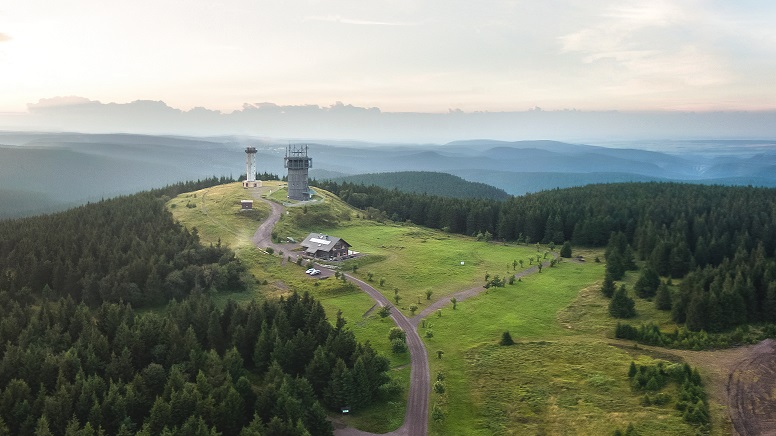
| The main ( and best one ) is the "Schneekopf" mountain in JO50JP on the top of the Thuringian Forest near the city of Oberhof. |
|
Although the "Schneekopf" is not the highest mountain of the Thuringian Forest its top is treeless and gives an excellent "Microwave - QTH". In former times the "Schneekopf" was occupied by the Soviet Army running a radar station there. In the late 90ties the mountain was re-naturated by the forest administration. See the transformer station providing good power , the lookout tower and the microwave tower carrying links mainly for TV networks and mobile communication. |
|
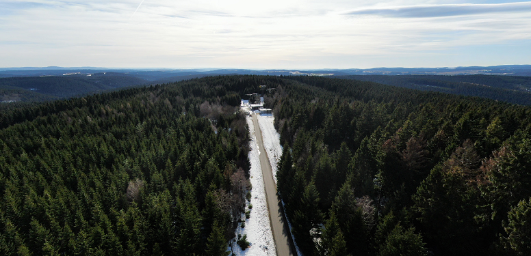
Our traditional "Winter domicile" is the "Wetzstein" located on the south-east edge of the "Thuringian Forest" in JO50RK.
When we start the contest season in March the road often looks like this... On the top of the hill you can see the former military area, now leaseholded by the "OV Rennsteig". Although the trees are growing from year to year the rests of the old lattice masts give good antenna places even for SHF. The best thing is the road to which is in a good condition and which is kept cleared during the winter. The small building at the gate in front is managed by the "Thüringer-Wald-Verein" Lehesten. We are happy to have a first class accommodation there! |
|
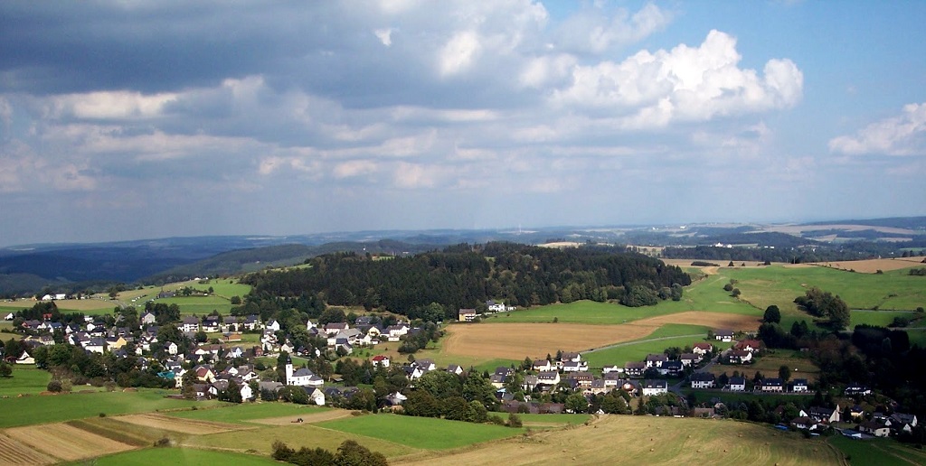
A few years ago we are started a very successful partnership with the team of DKØNA. They oparate from a 1st class equipped location called "Schwedenwache" at the edge of the "Franconian Forest". |


